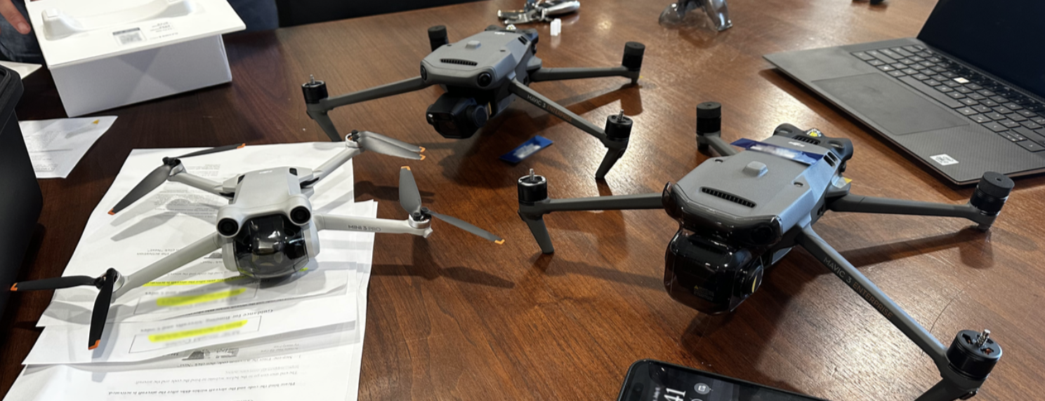
Drones, or unmanned aerial vehicles, are proving to be invaluable tools for local governments, offering improved efficiency, cost-effectiveness, and better decision-making capabilities. CTAS recently acquired four drones and will begin offering limited drone services this summer.
Why drones? CTAS Environmental Consultant and certified UAS pilot Kim Raia answered this question: “I was focusing on drone applications in public works and environmental monitoring, but when we queried our staff the list of potential applications grew quickly. In addition to public safety applications, we think drones can be used in routine county services such as property assessment, building inspections, road maintenance, post-disaster assessments, and land use planning, and that’s just scratching the surface!”
Here is a short list of potential uses for drones in county operations:
Infrastructure and Maintenance
Equipped with high-resolution cameras and sensors, drones can survey roads, rights of ways, bridges, and buildings, providing real-time visual data. This can assist officials in identifying potential risks, planning for repairs, and allocating resources effectively.
Emergency Response and Public Safety
During emergencies, rapid response and accurate situational awareness are crucial. Drones give public safety officers a ready to use tool for quickly assessing disaster areas, identifying hazards, and planning rescue operations. By providing real-time footage and thermal imaging, drones aid in search and rescue missions, fire monitoring, and even tracking suspects in criminal investigations, all while minimizing risks to first responders.
In his prior law enforcement capacity, CTAS Criminal Justice Consultant and certified UAS pilot Derrick Woods used drones for locating wanted suspects. He also deployed drones during high-risk arrests, providing a tactical advantage and minimizing potential for injuries to suspect and officers. Drones were also used to locate victims in boating incidents.
Woods said, “Unmanned Aircraft Systems (UAS) in the public safety field have become mission critical. Many agencies throughout Tennessee now have UAS programs to best serve their citizens and community at a moment’s notice, while doing so cost effectively. UAS has taken law enforcement to the next level of public safety”.
Environmental Monitoring
Drones equipped with sensors and cameras can monitor pollution sources and track environmental changes. Drones can also be used to map stormwater outfalls, inspect drinking water and waste water infrastructure, inspect hard to reach areas, and map precise benchmarks or elevation marks.
Landfill monitoring is one area for expanded drone use. Drones can help identify and minimize potential issues related to gas emissions, leachate leakage, and unstable slopes. Drones can also aid in analyzing surface settlement and stability issues. Drones equipped with LiDAR (Light Detection and Ranging) technology provide precise 3D mapping of landfill surfaces. By comparing repeat surveys over time, drones help monitor and analyze surface settlement, slope stability, and erosion.
Drones can aid in determining corrective actions and can also provide evidence of compliance, including visual documentation of site conditions. Drone information can limit environmental risk and help streamline compliance processes. This visual information increases transparency and accountability to stakeholders and regulatory agencies.
Development Services
Drones can be used for building and construction inspections and can provide a bird's-eye view to use in assuring construction compliance and completeness. Drones can also be used in land use decision-making. By collecting spatial data, drones assist in identifying optimal locations for new facilities and evaluating the impact of proposed projects.
Tourism, Visual Storytelling, and Economic Development:
Drones can showcase a County’s natural beauty, its tourist attractions, and outstanding landmarks. Drones can be deployed to cover public events, parades, and festivals, providing unique perspectives to engage the community and promote local tourism.
CTAS will begin a pilot program later this year. If you have a potential project you would like to discuss, please contact either Kim, Derrick, or your CTAS county government consultant.